A view of the world – digital maps available online
Electronic and geo-referenced maps such as the “Baumkataster Basel-Stadt” (2020), the “Plan der Stadt Zürich nach Breitinger” (1867) and other maps are now available for use.
The first electronic maps have been available online since 1 April 2021 for you as customers of the ETH Library, as researchers or parties with a general interest. The data can be searched like printed maps in swisscovery and can be downloaded via a link in the ETH Data Archive. The range of electronic maps will be expanded continuously in the future, especially as part of the planned follow-up project.
Objectives and benefits
The e-maps pilot project, launched in 2019, is designed to achieve the following objectives:
- Solutions for customer-oriented resources
- Evaluation and implementation of easy access to electronic, subject-based maps
In order for you to benefit from this resource as soon as possible,
- appropriate archiving and presentation infrastructures have already been created,
- issues regarding licences have been clarified with providers, and
- the first contents have been procured.
This provides you with a constantly expanding range of digital maps.
Historical maps, digitally reprocessed
In addition to regular new acquisitions, digitised historical maps from the holdings of the ETH Library are made available to you via the same infrastructure. These have been geo-referenced through crowdsourcing projects and can be downloaded as GeoTIFFs. The digital copies are identified with the Public Domain Mark and are available for free use to all parties with a general interest.
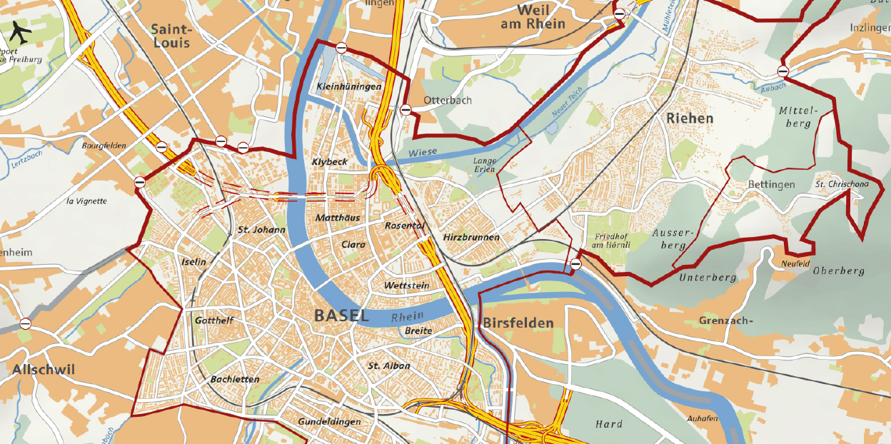
external pageBaumkataster Basel-Stadt (2020)
external pagePlan der Stadt Zürich nach Breitinger (1867)
Contact
Do you have questions or need support with your search? We will be happy to assist you via email at .
Maps – holdings and services
Currently, around 400,000 maps of the ETH Library provide a comprehensive range of historical and modern scientific and subject-based maps and geodata, including the related infrastructure and expert advice.